List Of Contents
Toggle1. Introduction to Drones in Mapping and Data Collection
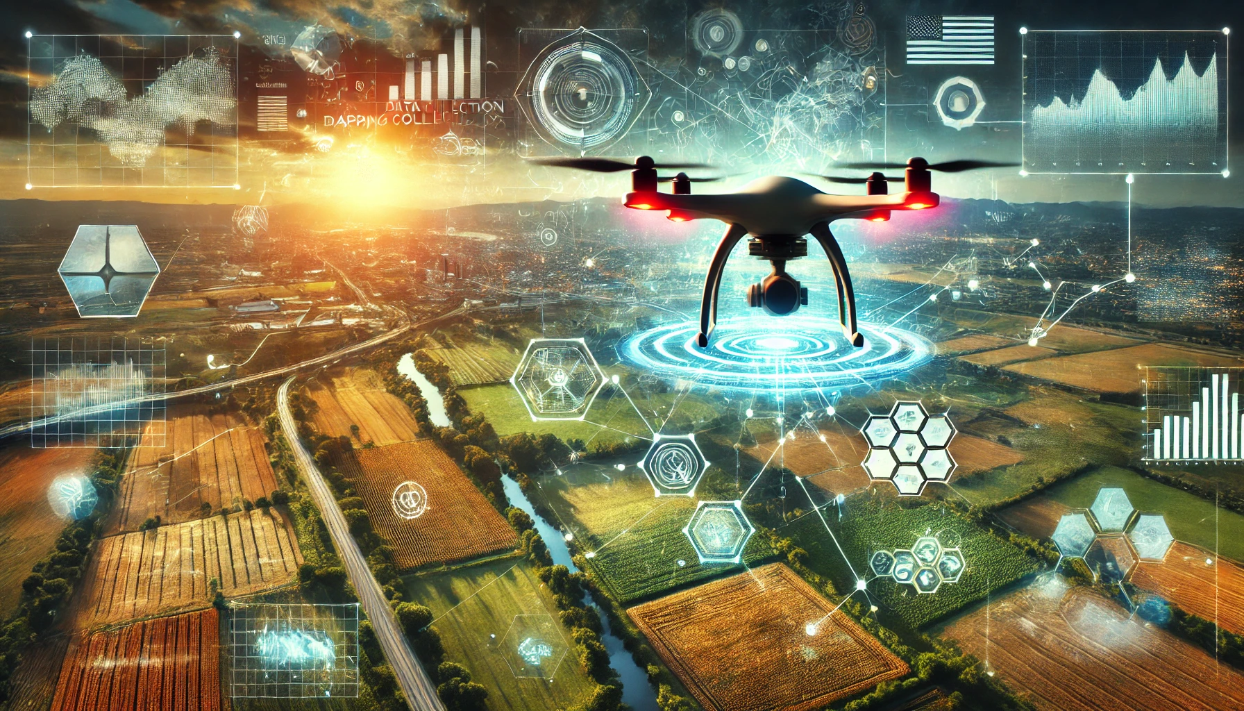
Drones have brought a new wave of innovation to mapping and data collection, transforming how industries gather and analyze information about different areas. In the past, gathering data from a large area was a long, costly process that involved manpower, airplanes, or satellites. Drones, however, can fly over land, buildings, and natural areas, collecting detailed images and data quickly and efficiently. As technology advances, drones are reshaping how we see and understand the world from above.
2. What Is Drone Mapping Technology?
Drone mapping uses unmanned aerial vehicles (UAVs) equipped with high-quality cameras and sensors to capture detailed pictures and data from above. By flying over an area, drones take many overlapping photos, which are later combined to create detailed maps or 3D models. This technology, called photogrammetry, uses images to measure distances, heights, and shapes, making it possible to analyze landscapes with impressive accuracy.
3. The Shift from Traditional Data Collection to Drones
Before drones, mapping, and data collection involved sending teams on-site or using costly methods like helicopters or satellites. These options required a lot of time, resources, and careful planning, and in some cases, they were even risky. Drones changed the game by offering a simpler, faster, and safer way to capture information. With a few clicks, drones can be sent over an area, gathering precise data in a fraction of the time required for traditional methods.
4. Different Types of Drones for Mapping and Data Collection
There are mainly two types of drones used for mapping: fixed-wing drones and rotary-wing drones (often called multicopters). Fixed-wing drones look like small airplanes, allowing them to cover long distances without needing to recharge, making them ideal for mapping large areas like fields or forests. Rotary-wing drones, which have propellers, are great for capturing detailed images of smaller areas. They can hover in one spot, making them perfect for close-up inspections and capturing details of specific locations.
5. Key Benefits of Drone Mapping and Data Collection
Drones bring numerous benefits to mapping and data collection:
- Speed: Drones can cover large areas in a short amount of time, often taking only hours instead of days.
- High-resolution images: Equipped with quality cameras, drones capture clear and detailed images, helping create accurate maps.
- Access to hard-to-reach places: Drones can easily reach areas that may be risky or difficult for people to access, such as mountainous regions or dense forests. These benefits make drones an ideal tool for any industry that needs accurate, up-to-date mapping and data.
6. How Drone Mapping Works
The process of mapping with drones usually includes three steps:
- Flight Planning: This involves setting up the drone’s route over the area so that it covers the entire space.
- Image Capture: As the drone flies, it takes overlapping images of the area below.
- Data Processing: The software then combines these images to create one complete map or 3D model, providing a clear view of the land, structures, or natural resources.
This simple yet powerful process allows industries to gather information more quickly and with greater accuracy than ever before.
7. Industries Using Drones for Mapping and Data Collection
Drones have found uses in many fields:
- Agriculture: Farmers use drones to monitor crops and optimize resources.
- Construction: Drones provide construction teams with regular updates, helping track progress and ensure everything goes as planned.
- Environmental Monitoring: Conservationists use drones to observe ecosystems and monitor animal populations.
- Disaster Response: After natural disasters, drones offer real-time information that helps emergency teams assess damage and find survivors.
These diverse applications show how drones can quickly adapt to meet the unique needs of each industry.
8. Drones in Agriculture: Precision Mapping and Crop Monitoring
Drones have become essential in farming by providing precision agriculture solutions. Farmers use drones equipped with specialized sensors to monitor soil health, water levels, and crop growth. By capturing images that show crop health, drones can help farmers identify areas that need attention, like extra watering or pest control. This targeted approach helps farmers improve yields and save resources, boosting the farm’s overall productivity and sustainability.
9. Drones in Construction and Infrastructure Inspection
In construction, drones allow project managers to see the big picture, literally. They can fly over building sites, capturing images that show how a project is progressing. Drones also help in inspecting infrastructure like bridges, power lines, and pipelines, allowing workers to check for damages or areas needing maintenance without physical access. This means safer working conditions, faster inspections, and fewer disruptions to the construction process.
10. Real Estate and Urban Planning with Drone Data
Drones offer exciting possibilities in real estate and urban planning. Real estate agents use drones to capture images of properties from all angles, giving potential buyers a complete view of the land or buildings. Urban planners also benefit, using drone data to create maps that highlight land usage, housing, and transportation needs. This data helps with planning smarter, more sustainable cities that can better serve growing populations.
11. Drones in Environmental Monitoring and Conservation
For environmental researchers, drones offer a safe, efficient way to track changes in ecosystems. They monitor wildlife, forests, and water bodies, capturing data that shows trends in animal populations or plant health. Drones are also essential in fighting deforestation and illegal logging by providing real-time monitoring, which helps conservationists protect endangered areas.
12. Disaster Response and Emergency Management
Drones play a vital role in emergencies, especially natural disasters like hurricanes, earthquakes, and wildfires. In these cases, drones can quickly survey the affected area, providing aerial views that help emergency teams understand the situation on the ground. They can locate survivors, assess damage, and even deliver supplies to inaccessible areas, making response efforts faster and more effective.
13. Challenges and Limitations of Drone Mapping
Despite the many benefits, drone mapping faces some challenges:
- Regulations and privacy laws: In many regions, drone use is strictly regulated, and users must follow specific rules.
- Weather limitations: Drones cannot fly in extreme weather conditions like heavy rain, high winds, or snow.
- Battery life: Most drones have limited battery life, meaning they can only cover a certain area before needing to recharge.
These limitations can make some projects challenging, but ongoing advancements in technology are gradually addressing these issues.
14. Future Trends in Drone Mapping and Data Collection
Looking to the future, drone technology continues to improve, with AI and machine learning playing a big part. Drones are becoming more autonomous, meaning they can carry out tasks on their own, from flying to data analysis. New sensors, like thermal or LiDAR, are being added, allowing drones to capture even more types of data. The future will likely see drones that can collect data in real-time, providing industries with instant insights for better decision-making.
15. Conclusion: Drones Transforming Data Collection
Drones have undoubtedly changed how industries approach mapping and data collection, making it faster, easier, and more accurate. As they continue to advance, drones will likely become even more integrated into day-to-day operations, helping companies make better decisions based on high-quality data. In the years to come, drones will keep pushing boundaries and expanding how we gather and understand information from the world around us.
FAQs
1. What are the main industries using drones for mapping?
Drones are used widely in agriculture, construction, environmental monitoring, real estate, and disaster response, each benefiting from the speed and precision drones provide.
2. How accurate is mapping with drones?
Drone mapping can be highly accurate, especially when combined with specialized software. This level of detail often surpasses traditional methods.
3. What are the legal considerations for drone use?
Drone operations are regulated in many areas, with restrictions on where and how they can be used, often to address privacy and safety concerns.
4. Can drones replace traditional mapping methods completely?
While drones offer many benefits, some larger or harder-to-reach areas still rely on satellite imagery or other traditional methods.
5. How much does a mapping drone cost?
The cost varies widely, with basic models starting under $1,000, while professional drones with advanced sensors and capabilities can cost upwards of $20,000.


Leave a Reply